fbpx

GIS and Drone Data Processing

A comprehensive 3 hour Webinar

Date : 11th May, 2024

Time : 3:00Pm – 6:00Pm

About us

The centre aims to train Indian youth, rural populations, women, and specially-abled people to become highly skilled in the field of deep tech and drones, and to make them valuable assets for the Indian UAV ecosystem.

Benefits of webinar

Understand Conceptualizing GIS and Drone integration in your industry

Post assistance from experts

Elevate Your Career Trajectory

Approved Case studies to smoothen your workflow

GIS & Drone data Processing

GIS & Drone Data Processing Webinar by
Defy Aerospace

2024

Join now

GIS and Drone data processing provides comprehensive information on the applications used for drone data processing and gis mapping

  • Webinar covers effective Industry Trends
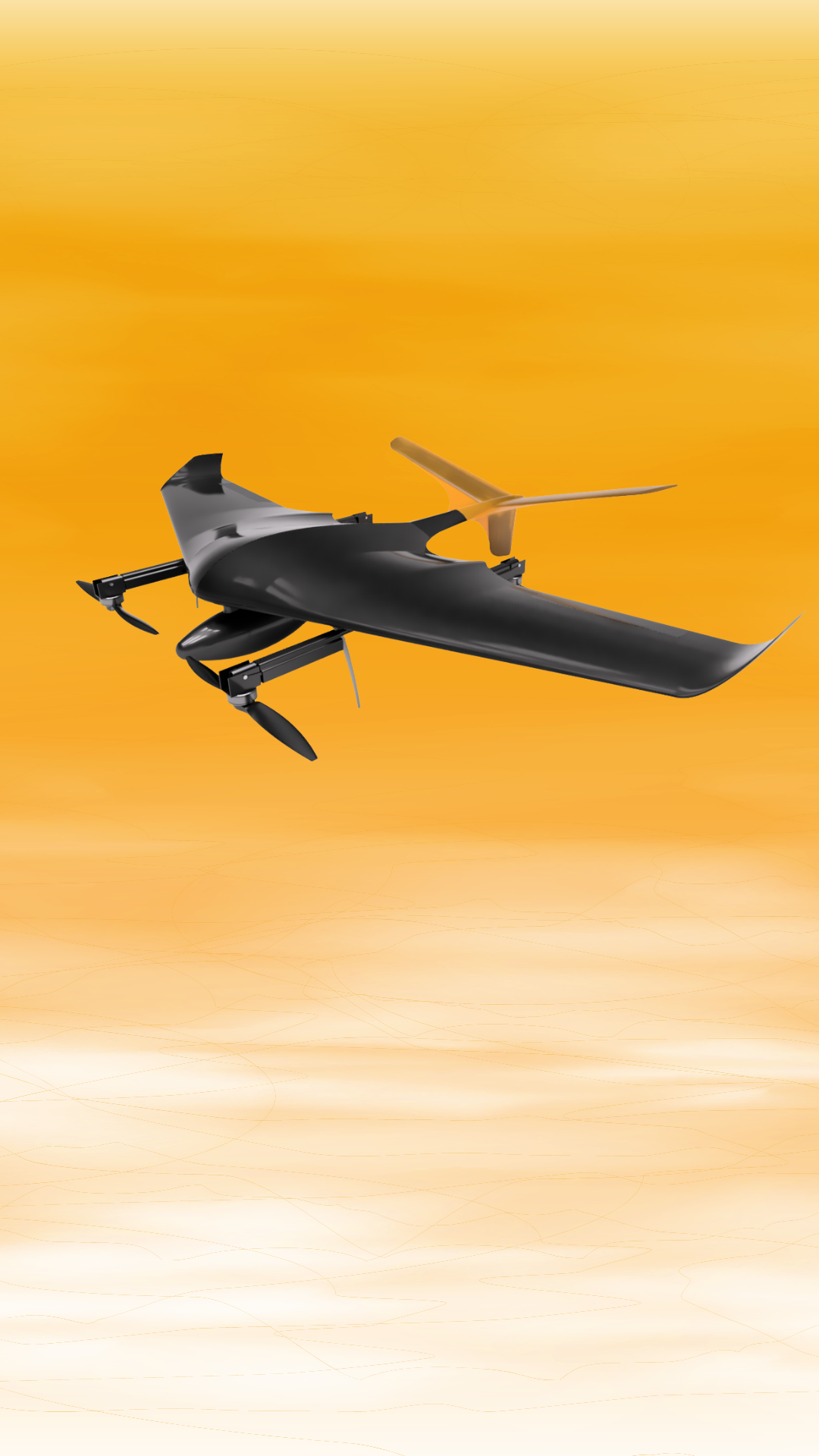
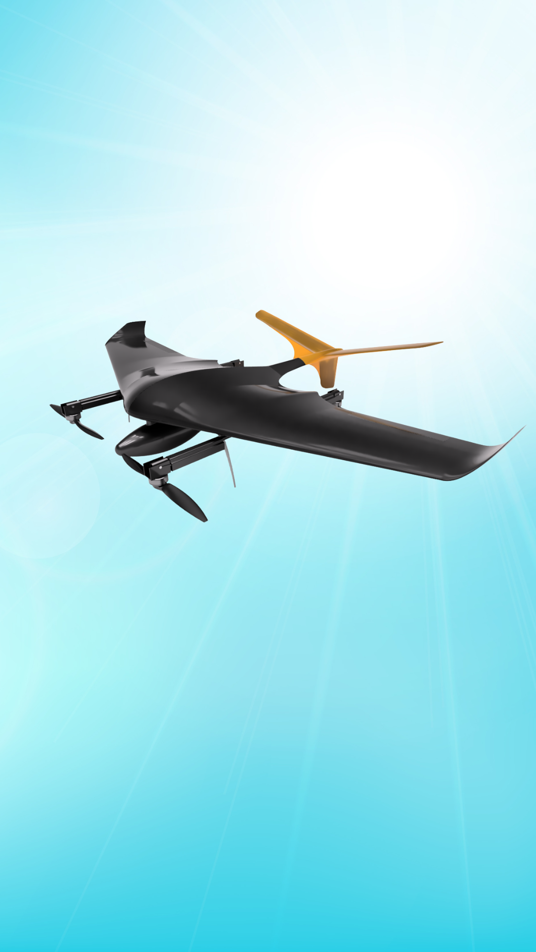
  • Topics include Applications of Drones, Future Outlook, Introduction to Drone Technology
  • Emphasis on situational awareness and risk management
  • Knowledge of maintenance and troubleshooting of Drones
  • Promotes responsibility, and ethical drone usage
  • Enhances career prospects in the drone industry

Hear from our clients

Our clients love working with us, just read what they have to say!

FAQs

Most frequent questions and answers

Geographic Information System (GIS) mapping is a technology that allows users to visualize, analyze, and interpret spatial and geographic data.

  • A GIS typically includes hardware (computers and devices for data capture), software (programs for data analysis and visualization), data (geospatial and attribute data), and personnel (individuals who manage and use the system).
  • GIS mapping uses two main types of data: vector data (points, lines, and polygons representing features such as cities, roads, and lakes) and raster data (gridded data such as satellite imagery and digital elevation models).

GIS data can be collected using various methods, including satellite imagery, aerial photography, ground surveys, and data from GPS devices. Additionally, data can be sourced from existing databases or public sources

GIS mapping has a wide range of applications, including urban planning, environmental management, transportation, agriculture, public health, and emergency response.

  • GIS mapping can benefit businesses and organizations by providing insights into market trends, optimizing logistics, improving decision-making, and enhancing customer engagement through location-based services.

Drone data processing involves analyzing and interpreting the data collected by drones, such as aerial images, videos, and other sensor data, to create valuable insights, maps, and models.

Yes, this webinar is conducted online, allowing you to attend from anywhere with an internet connection.

Yes, there will be a Q&A session at the end of the webinar where you can ask questions and interact with the presenters.

There is a registration fee of Rs.199 for the webinar

For more details contact us at : +91 93720 27820

We would love to hear from you